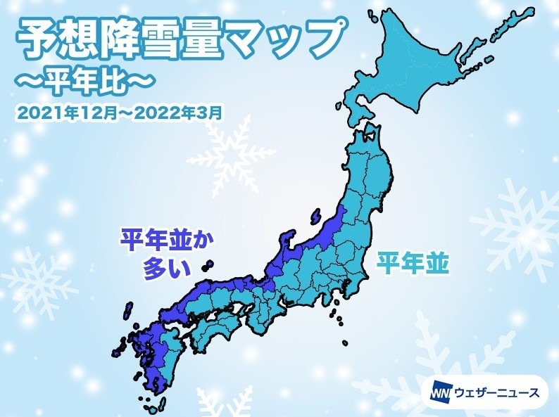
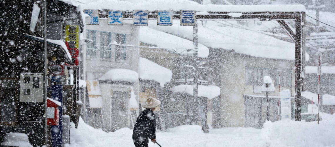
The Japanese meteorological agency announced the snowfall trend for this winter (December-March). Due to the influence of the La Niña phenomenon, the amount of snow on the Sea of Japan side of eastern and western Japan will be higher than average.
Effects of the La Niña phenomenon
The La Niña phenomenon that occurred this fall will most likely continue during the winter. Due to this effect, west winds “westerlies” will continuously flow over the sky and head south near Japan. At the same time, the cold air is going to flow mainly in western Japan. The snowfall on the Sea of Japan side, going from east to west Japan will be at or above average. In northern Japan, there are times when the winter-type pressure distribution becomes more vigorous, but the inflow of cold air will be weaker than usual. However, there will be days when it will be snowing more due to the development of low pressure. The amount of snowfall this winter will be about the same as usual on the Sea of Japan and in Hokkaido.
Snowfall peaks typically in the second half of January

The snow peak will be in the latter half of January. When the cold solid air moves southward, and the winter-type pressure distribution becomes stronger. Heavy snow may occur mainly in the west of Japan. In addition, snow clouds will accumulate on the Sea of Japan side and in Nagoya City, Kansai, Osaka, and Setouchi. Since the La Niña phenomenon has occurred in winter for the second consecutive year following last season, it will snow a lot on the Sea of Japan side of western Japan like last winter. Also, from the latter half of January, it may snow on the Pacific side of eastern Japan, such as the Kanto region, due to the low pressure of the south bank. If snow accumulates in the Kanto Plain, the impact will be more significant, as they are not used to snow.
Niseko and Hokkaido snowfall
So what does that all mean for Hokkaido and Niseko? Well, we can expect a lot of snow but slightly warmer temperatures. However, we all know that the weather can always throw us a curveball. But one thing is for sure. The snow is already on the ground and it keeps piling up. So get your ski gear ready and come up to Hokkaido asap.
Spoiler Alert! We have been skiing on natural snow since the 26th of November.
For more winter related articles, check out our online magazine now. If you would like us to write about a certain topic, please send your suggestion to [email protected].


